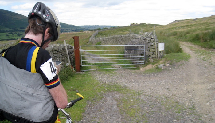
…having got a bit up the hill / mountain / range, there was a junction. one way looked ok to cycle, the other looked very off road. too off-road for the C2C. straight up, super stony. so we go round the bottom of the mountain till this photo, where the route has veered way off back down, us going “this ain’t right”. at this point i curse the bravado of not buying the C2C route map (its signed! we’re doing it with 200 other people! this is a two day sprint - we won’t be taking an off road options!), and pray for a data connection. if only i had taken a screenshot: the options were chicken out and descend to the trunk road in the valley pass, or take this winding solitary route, paging through screens and screens of mountainous googlemap nothing, which obviously was the C2C route. well, i’m on a mountain bike, and i’m damned if a mountain is going to get in my way. scott, however, is on a 1970’s road bike…

